



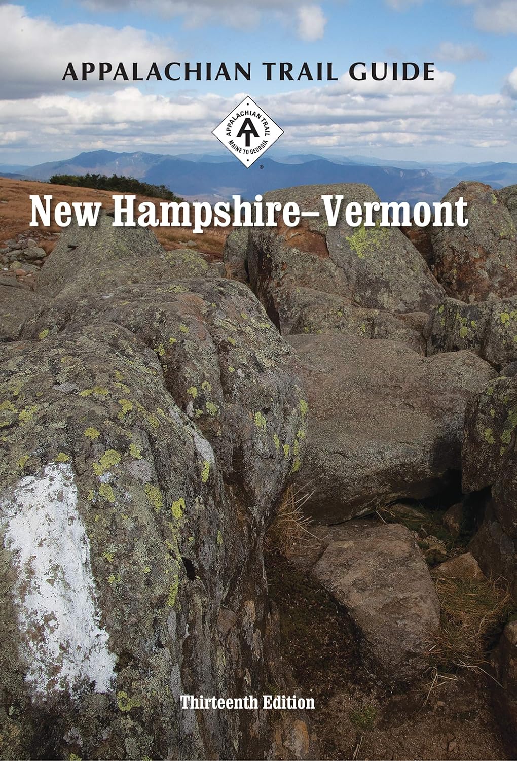
Appalachian Trail New Hampshire-Vermont Guide Book Map Set (Appalachian Trail Guides)

 4.8 (57 items)
 Limited Time Sale
$15.49 cheaper than the new price!!
Free cash-on-delivery fees for purchases over $99
Product details
| Management number | 231973158 | Release Date | 2026/06/18 | List Price | $10.33 | Model Number | 231973158 | ||
|---|---|---|---|---|---|---|---|---|---|
| Category | |||||||||
The New Hampshire-Vermont set covers 330.4 miles from Grafton Notch, Maine, to North Adams, Massachusetts, in one official guidebook and eight water- and tear-resistant maps on four sheets. The pocket-sized planning guide contains background and interpretive information, points of interest, general advice, shelters, water sources, and road crossings. The omnidirectional format allows you to see where you are whether southbound or northbound. Each map is focused on the Appalachian Trail and overlaps with the neighboring maps. The surrounding area, out to about three miles, and additional side trails are also included. An easy-to-use elevation profile shows ups and downs and the distance to the next campsite or shelter, side trails, and water sources. For added interest, maps indicate federal or state lands, road crossings, waterfalls, and scenic areas. Maps are both water- and tear-resistant. Maps 1 & 2: The Mahoosuc and Presidential Ranges; Maine 26 (Grafton Notch) to U.S. 302 (Crawford Notch) Seven-color, 1:63,360-scale topographic maps with 100 feet contour intervals. 1 inch = 1 mile. Revised in 2019.Maps 3 & 4: Southwestern White Mountains; U.S. 302 (Crawford Notch) to Lyme-Dorchester Road (Dartmouth Skiway) Seven-color, 1:63,360-scale topographic maps with 100 feet contour intervals. 1 inch = 1 mile. Revised in 2019.Map 5 & 6: Connecticut River Valley to Vermont’s Coolidge Range; Lyme-Dorchester Road (N.H.) to Vt. 140 Seven-color, 1:63,360-scale topographic maps with 100 feet contour intervals. 1 inch = 1 mile. Revised in 2019.Map 7 & 8: Vermont’s Green Mountains; Vt. 140 to Mass. 2 (North Adams) Seven-color, 1:63,360-scale topographic maps with 100 feet contour intervals. 1 inch = 1 mile. Revised in 2019. Read more
| ISBN10 | 1944958088 |
|---|---|
| ISBN13 | 978-1944958084 |
| Edition | 13th |
| Language | English |
| Publisher | Appalachian Trail Conservancy |
| Dimensions | 4.9 x 1.8 x 8.7 inches |
| Item Weight | 15.8 ounces |
| Print length | 340 pages |
| Publication date | June 7, 2018 |
Bestseller ranking
New England


Customers who viewed this product also viewed
Software Engineering

Correction of product information
If you notice any omissions or errors in the product information on this page, please use the correction request form below.
Correction Request Form